Wednesday Research
Submitted by Brent Patch on Wed, 2017-06-21 00:00
How I would love to be floating with you all!
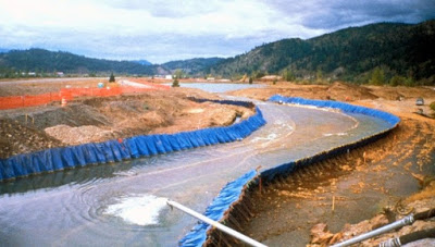
From the research that I have seen, it appears as though the South Fork of the Couer d"Alene river was subject to the years of mining that degraded the water quality. Geographically, the South Fork flows into Couer d'Alene lake and this stretch had been one of the most polluted rivers in America. There is a neat picture of the river being diverted so the bed could be cleaned of metals. Although some folks currently kayak sections of the South Fork, most enjoy the waters of the North Fork for boating and other recreation. Access to the South Fork is difficult because of steep, rocky slopes and the canal as it goes through Wallace. Finally, it seems to me that the focus is on improving and maintaining water quality of the South Fork.
http://accesstooutdoors.blogspot.com/2016/10/south-fork-coeur-dalene-riv...
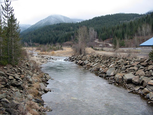
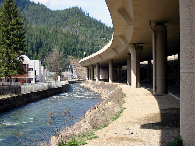
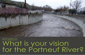
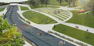
Our own Portneuf River in Pocatello has a similar story. In the upper stretches, it exists as an attractive recreational corridor. As it is diverted through farmland for irrigation purposes, the water quality quickly degrades. The Army Corps of Engineers built a canal and levee system to control the flooding in the late 60's and early 70's. An idea that we developed during our Miles adventure was that we essentially put the river in a box and now we want to make the box a little bigger and get in there with the river so we can enjoy it!
The upper stretches of the Portneuf are good cutthroat trout habitat producing 2-3 pound fish. Decades ago, it was not uncommon to catch 4-6 pounders! These fish do good in waters around 60 degrees F, can live in waters above 77, but stop growing around 73 degrees